Interactive model to illustrate best water management.
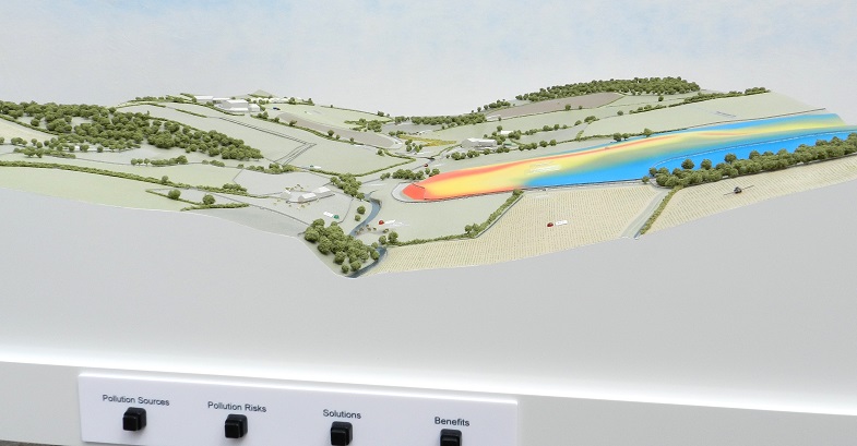
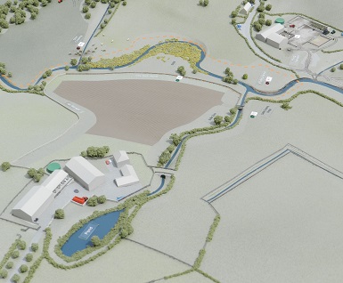
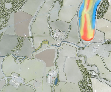
This interactive model was commissioned by the NFU as a visual demonstration to farmers of good water management practices on their land. The model shows two different catchments, one illustrating a high risk landscape with poor farming practices and the other showing a low risk landscape where the delivery of good practice minimises risks. The buttons on the front of the model activate LEDs set in the landscape to highlight different aspects of land management practice. The brightly coloured area shows an example of a Scimap, a graphic plan that shows farmers the risk areas across their land.